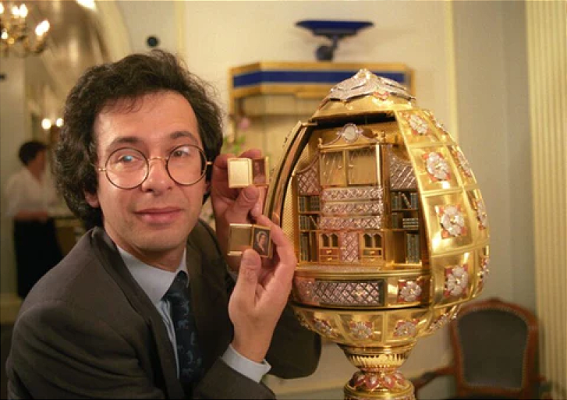
When I was growing up, my mother used to refer to the egg as “your father’s ego”, while to the rest of the world it was known as the Argyle Library Egg by Kutchinsky. I felt a mix of pride and bafflement towards my father’s creation. I was thrilled to take its Guinness World Records certificate to school to show my friends, but I didn’t understand why anyone would want an egg that big which wasn’t made out of chocolate. But after the egg, life was never the same. It came to bear responsibility for the loss of our century-old business, the implosion of my parents’ marriage and Dad’s untimely death. After the family firm was sold, the egg was seized by creditors and locked away. It vanished but its shadow lingered. Mum raged against it as if it were human. A villain that stole her livelihood and husband, and robbed her children of a father. I was meant to hate it, too. But I couldn’t. Just like I couldn’t hate Dad when he left. (via The Guardian)
Buster Keaton’s films were all destroyed and then James Mason bought his house
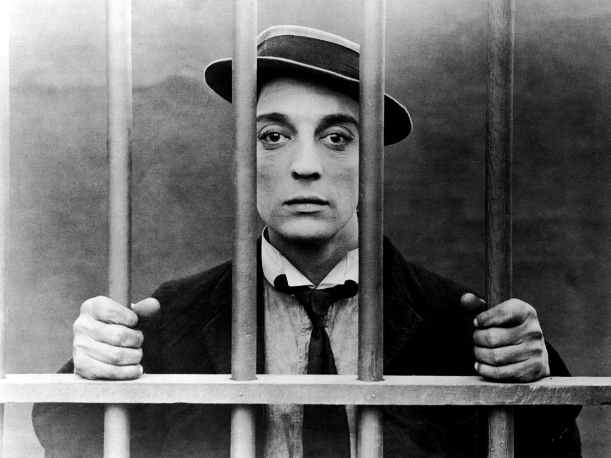
During Buster Keaton’s golden era, he helped to design his house behind the Beverly Hills Hotel. The house contained a movie theatre, complete with a projector, perfect for showing guests unfinished films. Although Keaton loved the villa, when he divorced Natalie, she took his fortune and property. According to filmmaker Jim Jarmusch, when Keaton’s career was disintegrating, “the studio said, ‘look, all of your films… we are reclaiming the silver out of the copies of these films.’ […] So all of these masterpieces that Buster Keaton created were gone. And they were gone. And he lived his life until the 1950s, just accepting that all of this work that he had done will never ever be seen.” However, in 1948, Pamela Mason, the wife of British actor James Mason, became enamoured by his former house. While refurbishing it, the Masons took down a wall in part of a screening room and found pristine prints of Keaton’s films. (via Far Out magazine)
Note: This is a version of my When The Going Gets Weird newsletter, which I send out via Ghost, the open-source publishing platform. You can see other issues and sign up here.
Continue reading “His obsession with jewelled eggs destroyed his family”